
By Monika
Hverir Geothermal Area: How to Visit + Helpful Tips.
Hverir Geothermal Area is one of the main – if not THE MAIN – attractions of the Lake Mývatn area in North Iceland.
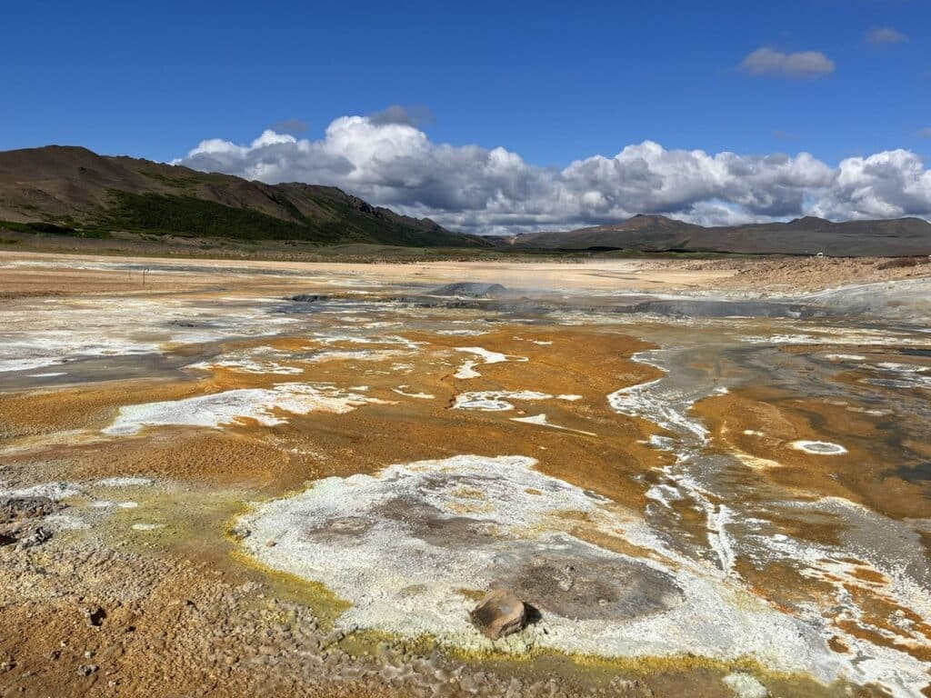
It’s an absolutely surreal landscape with unique geothermal features, like mud pools and fumaroles, and after two visits, I find Hverir Námafjall Geothermal Area absolutely fascinating!
Let me share everything you need to know about this amazing place – including the best things to do there, how it changed between my first and second visit (that’s the fascinating part!) and some helpful tips for your visit.
This post contains affiliate links to trusted products and services that I use and love myself. If you make a purchase through these links, I may receive compensation at NO EXTRA COST TO YOU. I appreciate your support! Also, as an Amazon Associate I earn from qualifying purchases. See the Disclaimer Policy and the Privacy Policy for more details.
- Hverir Geothermal Area: How to Visit + Helpful Tips.
- Is Hverir the same as Námafjall or Námaskarð?
- Where is Hverir Geothermal Area?
- How to get to Hverir
- Parking at Hverir Geothermal Area:
- Best things to do in Hverir Geothermal Area
- How much time do you need at Hverir Geothermal Area?
- Best time of the year to visit Hverir
- Where to stay near Námafjall Hverir Geothermal Area?
- Nearby attractions
Is Hverir the same as Námafjall or Námaskarð?
You may see a few different names used to describe this particular geothermal region: Hverir, Hverarönd, Námafjall, Námaskarð and you may be wondering “which is it?”
Let me try to explain:
Námaskarð (or Námaskarð Pass) is a narrow strip of geothermally active area between Mt. Námafjall and Mt. Dalfjall, closely connected to the nearby Krafla volcanic region.
Rt. 1 (or the Ring Road) goes through this area, sometimes also called “the Geyser Strip”.
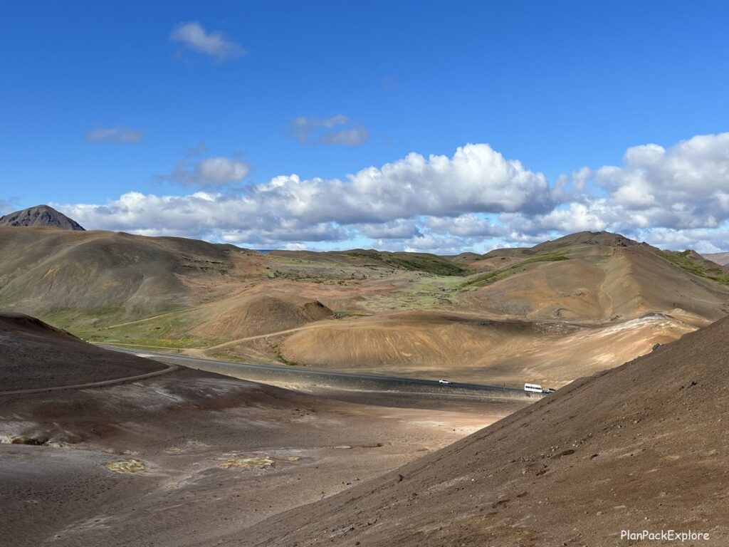
Hverir (short for Hverir Geothermal Area) is also known as Hverarönd and is a very active – and one of the largest – geothermal areas in Iceland, located just east of Námaskarð, at the foot of Mt. Námafjall.
Námafjall is a mountain right by the Hverir geothermal field and hiking to its summit is something I strongly recommend you do when you visit. More details about the Námafjall hike a little further below in this post.
Where is Hverir Geothermal Area?
As I mentioned, it is located in Northern Iceland, east of Lake Mývatn.
It’s a short drive from the nearest town of Reykjahlíð (only 9 min., 6.3 km) and a short distance from the Earth Lagoon Mývatn (formerly known as Mývatn Nature Baths) – a beautiful hot spa lagoon (7 min., 4.4 km).
And if you’re traveling the scenic route along the eastern shore of Lake Myvatn, it’s also a very short drive from the previous attraction you would most likely visit – Grjótagjá cave (9 min., 5.7 km).
Here is a map to help you find Hverir:

Here are driving distances from nearby major towns:
To the west – Akureyri: 1 hour 15 min., 89 km.
To the east – Egilsstaðir: 1 hour 50 min., 159 km.
How to get to Hverir
By car
Driving is the best and easiest way to reach Hverir. This area is very easily accessible from the Ring Road – you can see the steam from quite a distance as you approach!
And the good news is – you don’t need a 4WD to get there!

You can visit Hverir as part of your Diamond Circle route or while exploring other Lake Mývatn region attractions, but make sure it makes it into your travel itinerary – it’s amazing!

READ MORE: Renting a Car in Iceland – How to Choose the Right Car for Your Trip.
With a tour
If you’re not up for self-driving, there are many great tours available to visit this and other Lake Mývatn attractions. Here are some choices that I think you’ll enjoy:
Since Akureyri is the closest major town to Lake Mývatn, most tours depart from there.
- From Akureyri: Lake Mývatn Guided Tour with Lunch – this tour will take you to some of the main attractions of the area and includes lunch and admission to Mývatn Heritage and Nature Museum.
- From Akureyri: Myvatn Lake, Craters, & Waterfall Tour – includes some of the main stops of the lake area and a visit to Goðafoss waterfall.
- Lake Mývatn Classic Tour from Akureyri – this tour will take you to the main sites around the lake and also to Mývatn Nature Baths to relax after a day of sightseeing.
Parking at Hverir Geothermal Area:
The parking lot for Hverir site is huge and located right off the main road. Just put “Hverir Parking” in your Google Maps and it will take you to the right place.
There is a parking fee of 1610 ISK that you can pay at the pay kiosk on the edge of the parking, by scanning a QR code lot or via the EasyPark app (parking zone 660).
The first time we visited, there were no restrooms at Hverir but now (as of 2026) there are restrooms at the parking lot, however you have to pay additional 300 ISK for them.
Best things to do in Hverir Geothermal Area
The two best activities here are of course exploring this fascinating geothermal field and also hiking Námafjall Mountain – read below why it’s worth climbing that hill!
1. Explore Hverir Geothermal Area
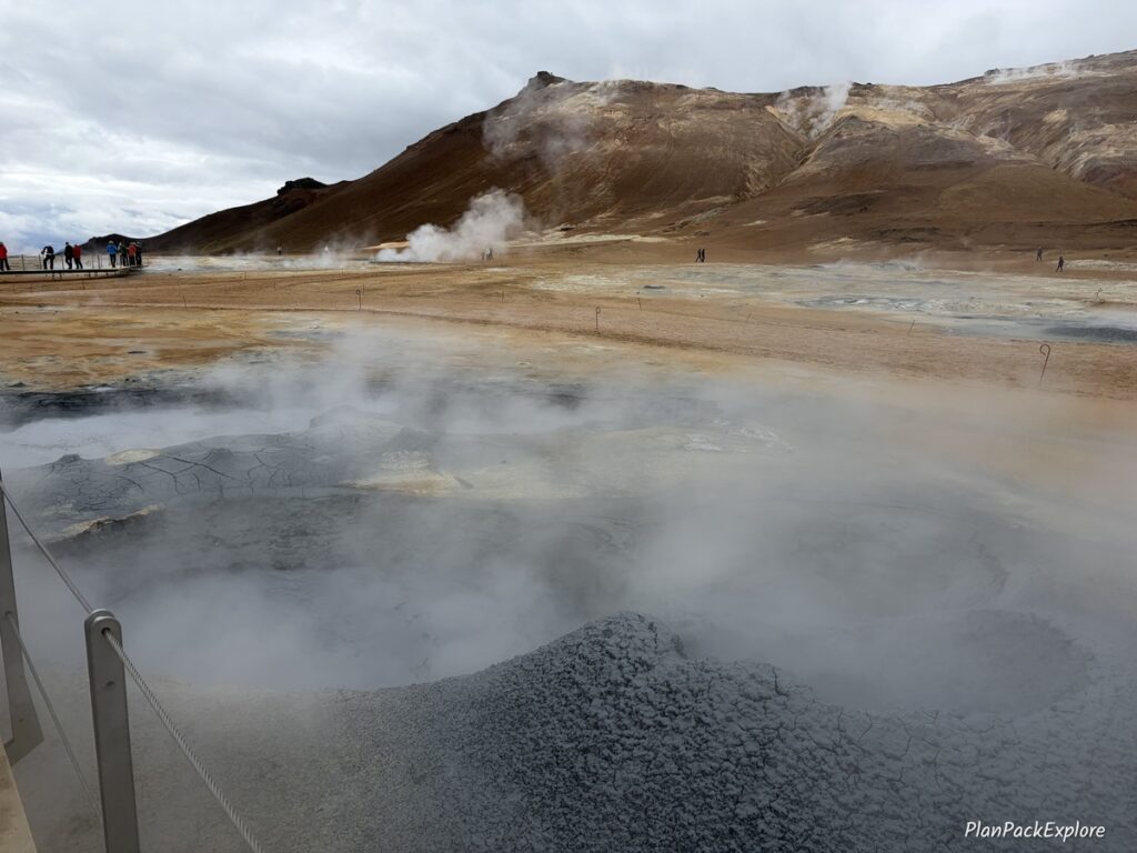
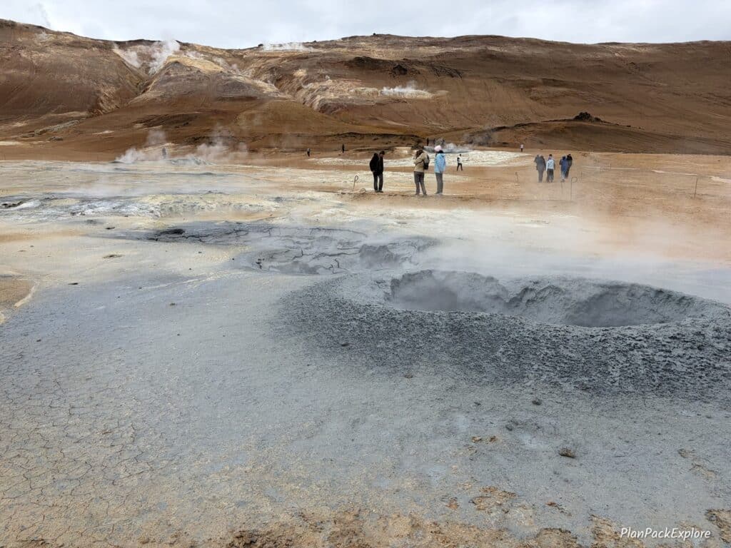
You can see the edge of the geothermal area just standing by your car if you are lucky to park close enough. Golden brown soil stained with all colors of the rainbow around natural steam vents and bubbling mud pools – unreal landscapes that no amount of prior research can prepare you for!
Note of caution: the smell of sulfur (the famous “rotten egg” smell) here can be A LOT! We’ve been to a few geothermal areas already but here at Hverir it’s at a whole new level of intensity. If you’re sensitive to it, you may want to grab something to cover your nose just a little bit to make it bearable.

There is a viewing platform right off the parking lot, from which you can see the whole area.


That’s also where you’ll find the big sign with a map, information about the hot springs area and the hiking trail for Mt. Námafjall.
The viewing platforms have been expanded since our first visit and cover a much larger area of the field. See the pictures below:
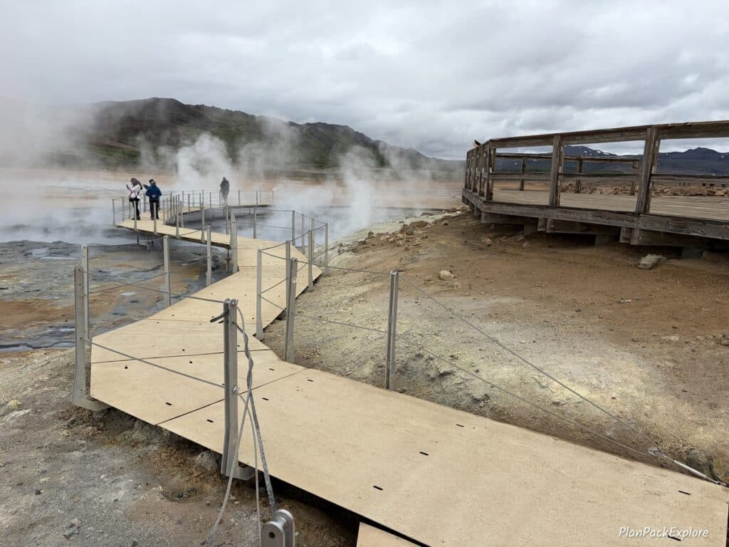
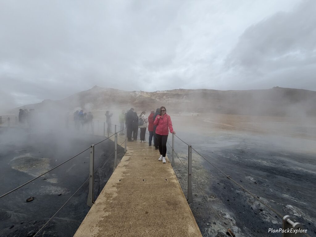

There are clear walking paths you must stick to for your safety when you explore the area.
Do not attempt to touch the water in the steam vents or stick your hands in the steam to check if it’s really that hot. You can get seriously burned and the ground closer to the mud pots and fumaroles can be very unstable.
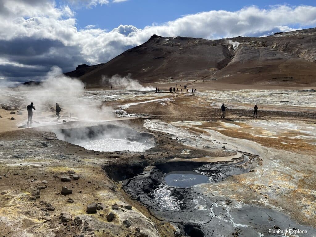
Trust me – it is hot! You can feel geothermal heat as you walk around the area and some spots generate so much steam that you can barely see through it!


Like this hissing old borehole, around which tourists had added a pile of rocks, so it became a recognizable landmark!

You are literally walking on steaming ground – everywhere you turn, you find another sizzling hole.
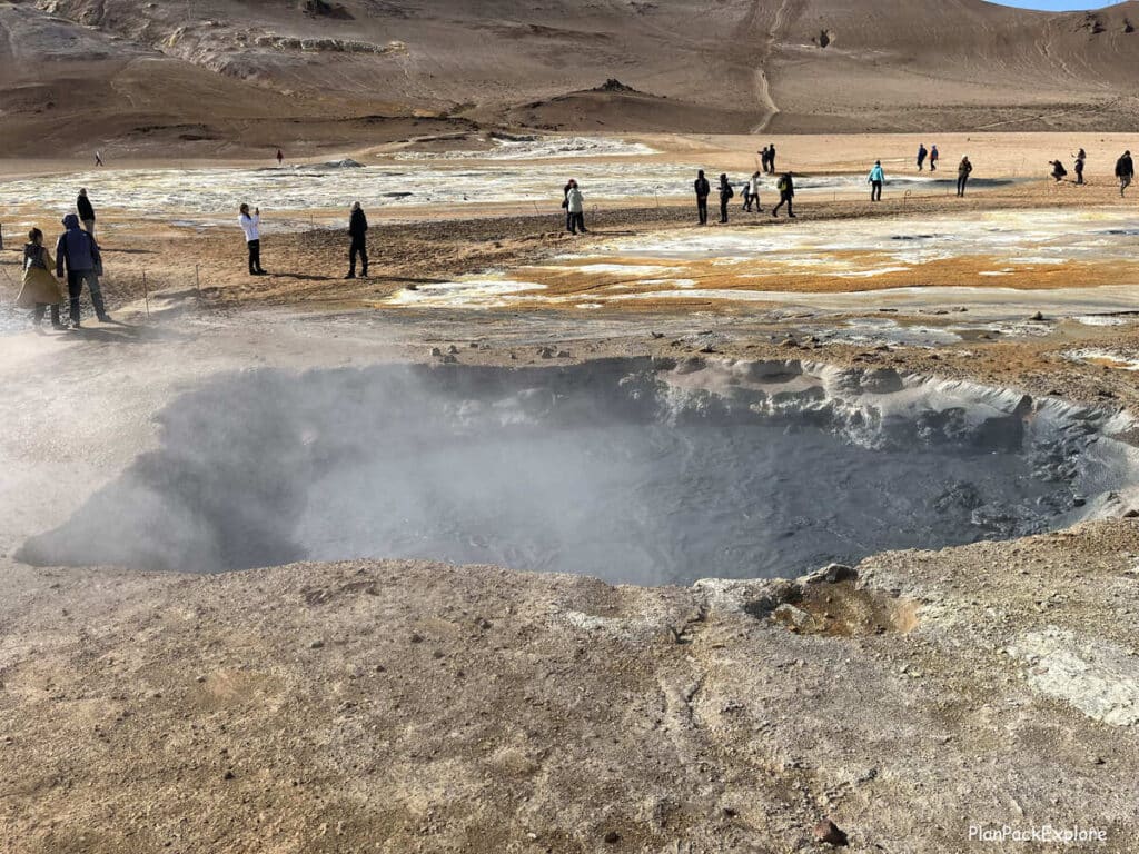
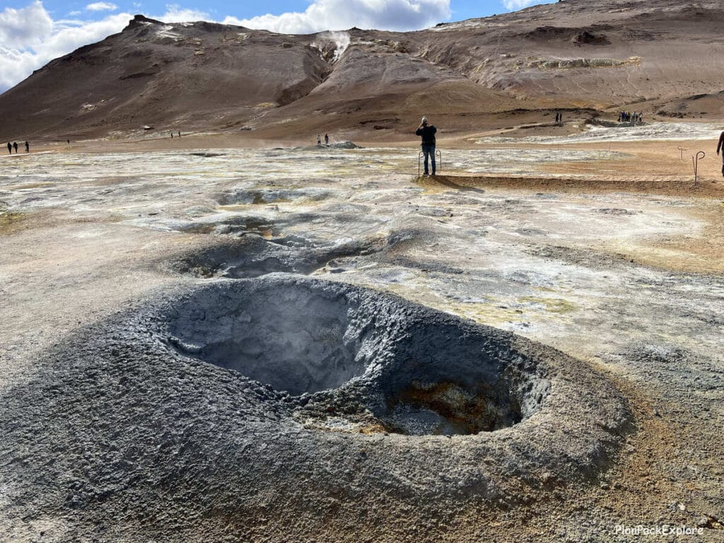
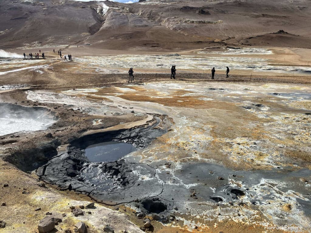
The area seemed even more active when we returned for our second visit – there was steam everywhere around us!
Here is a short video to give you an idea of what to expect:
Take your time to appreciate these amazing surroundings and when you feel you’ve seen enough, start the hike to the summit of Námafjall Mountain.
2. Mt. Námafjall hike
We did this hike during our first visit. It was an amazing experience, and I highly recommend that you do it!
So I’ll describe it for you here the way we did it and point out the things that seem to have changed when we returned.
The hike as it was in 2023
There were two paths to the top – when facing the mountain, one was on the right side and one on the left.

It was meant to be a loop trail – climb up on one side and hike down on the other. You’ll see as you read on why we ended up choosing another option.
The right path was supposedly less steep than the one on the left, so that’s the one we took – but it was still a steady hike.
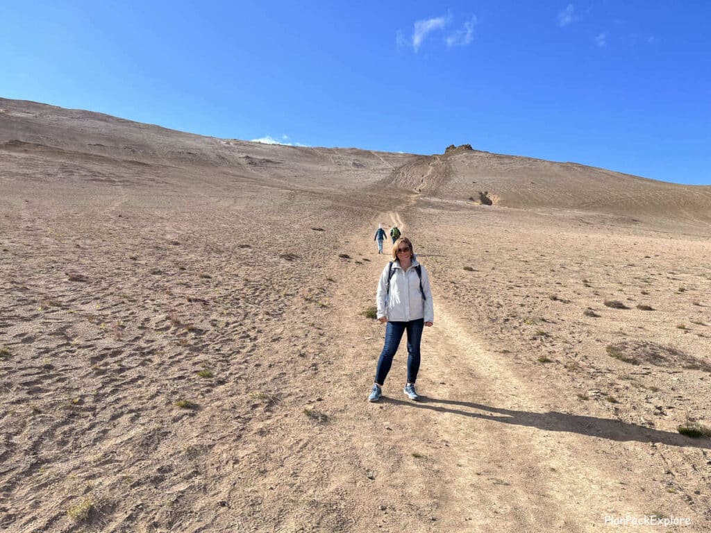
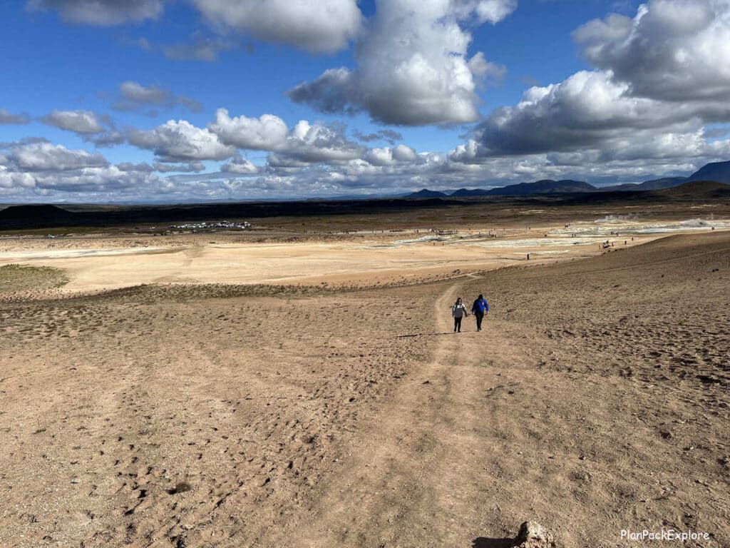
Nothing strenuous but you needed a pair of good hiking shoes with good traction, as the trail was just packed dirt with a layer of loose sand over it. Hiking poles may also be helpful!
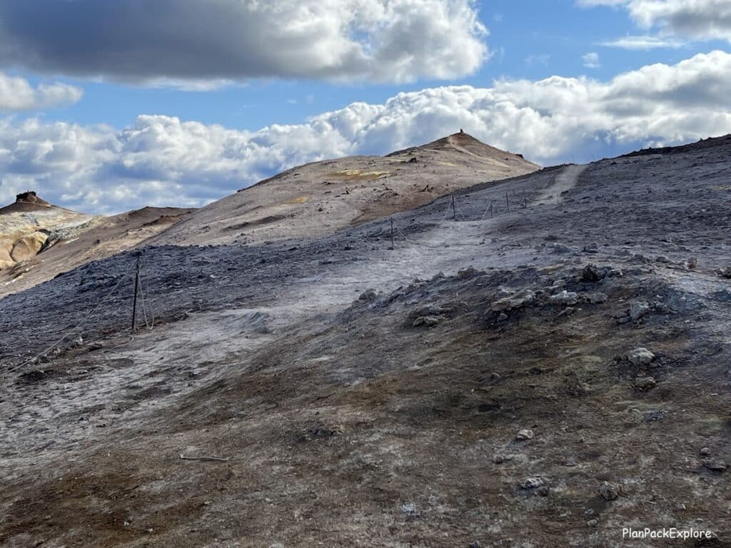
It was not a long climb, maybe 15-20 minutes before we got to the top and stood on the ridge from which we could admire the incredible views of the entire area with all the vibrant soil colors and steam everywhere.
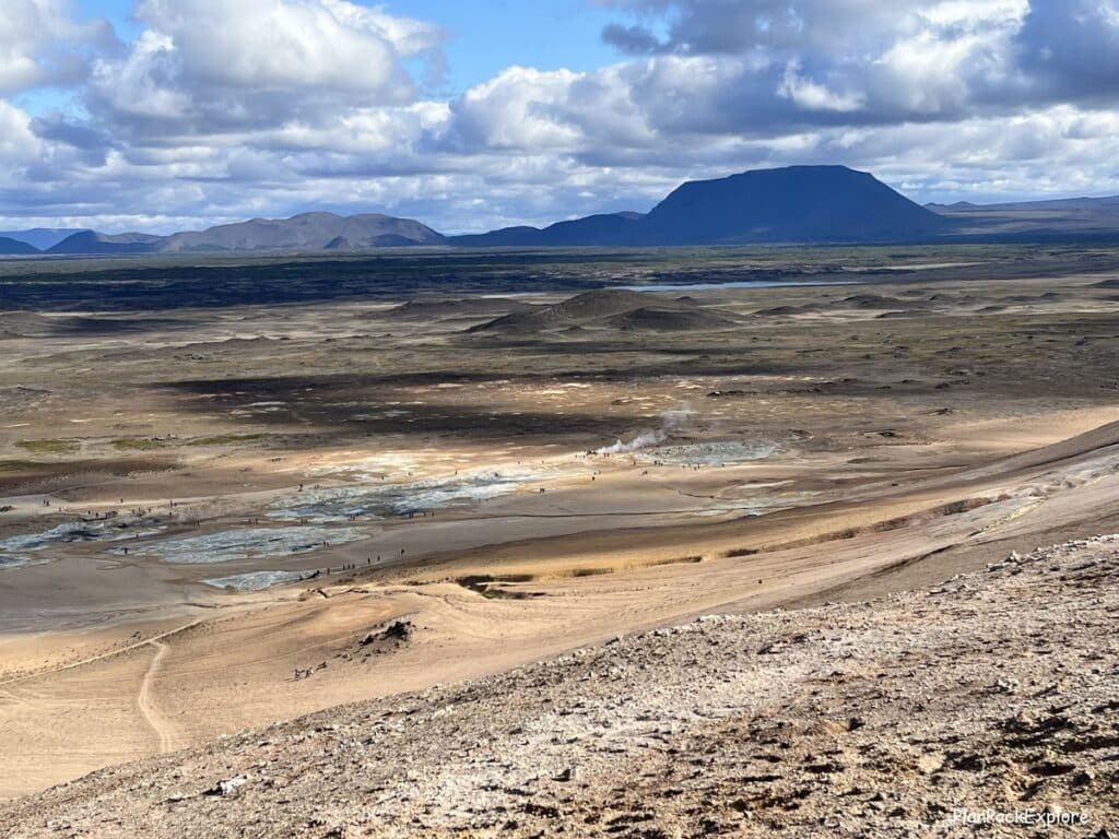
The sulfur smell wasn’t as strong up here, but we could still detect it, especially as we were getting closer to the left side path along the ridge – there were some fumaroles along the trail releasing the rotten egg smelling gas…
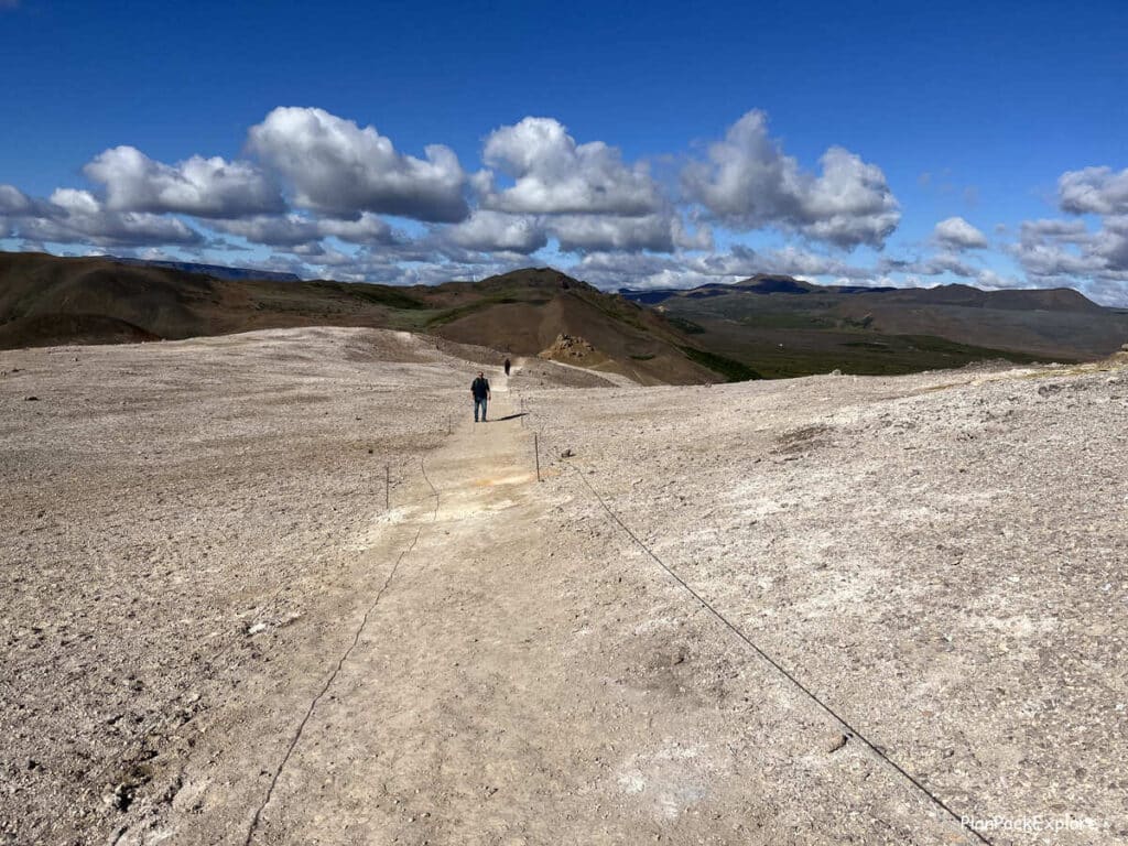
We continued walking along the ridge towards the left side. We saw a few more sulfur-smelling vents, and of course more jaw-dropping landscapes!
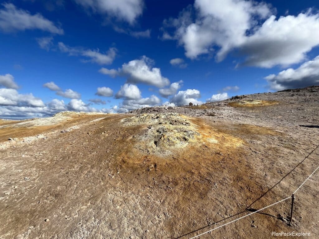
Eventually we reached the end of the trail marked by a rock formation that you can also climb for even more amazing views.

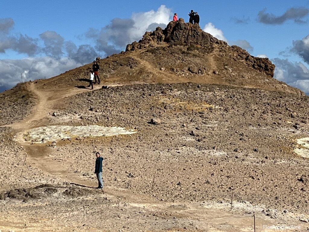
From here we could take the left side path back down to the geothermal area. That’s what we were going to do, however we talked to a few hikers and were warned that it’s quite steep and the surface is loose gravel.
So we decided to not go down that way and instead to retrace our steps.
As we walked back, we noticed people taking side trails to the left of the main one we were on, leading them down around the mountain, so we decided to check that out as well.
It was a longer, but much milder descent and we got to see the other side of Mt. Námafjall.

What changed with the Námafjall hike in 2026?
The hike was still accessible, as we saw people on the ridge of Mt. Námafjall, however the path to the top is different.
The trail that we took was no longer there and the area directly in front of it was clearly roped off.
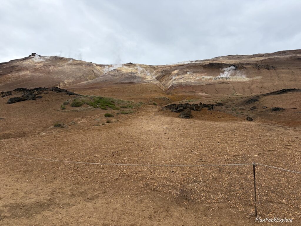
There was a new path marked and it seemed to lead around the mountain – so you would hike to the top the way we came down.
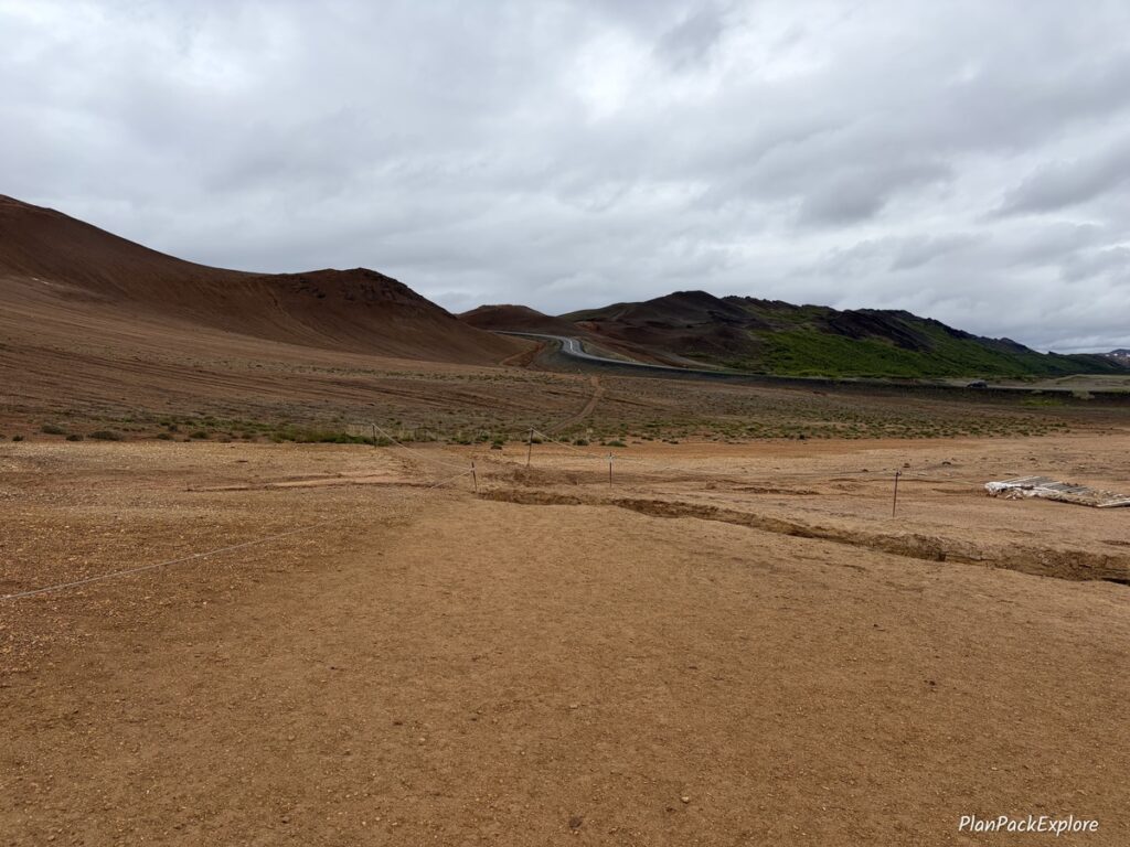
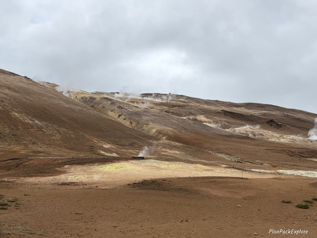
I’m not sure what prompted the changes, but the whole area – including Mt. Námafjall – was a lot more active than when we first visited, so the new way must just be the safer hiking route.
Is the hike worth it?
It absolutely is! Even if you don’t have a perfect sunny day like we had – the views are still stunning and they are well worth the short hike to the top.
How much time do you need at Hverir Geothermal Area?
It really depends what you plan on doing there.
Without hiking Námafjall an hour should be sufficient; however, you have to consider the “wow” factor and the number of photo stops you make as you explore this very unique place.
If you’re including the hike, then you should add another 2 hours to this visit.
Best time of the year to visit Hverir
This geothermal field is accessible all year, given that it is practically on the Ring Road which is usually very well maintained.
However, North Iceland does get a lot of snow, sometimes well into the spring and even summer so always check the road conditions and the weather forecast before you travel. It’s particularly important in the winter months. That’s also when you may want to consider renting a 4X4 car to get here.
LEARN MORE: Driving in Iceland – Essential Tips for a Great Road Trip.
Where to stay near Námafjall Hverir Geothermal Area?
For us Akureyri was a perfect starting point to explore Northern Iceland (we stayed in Saga Apartments – wonderful!), but there are other towns nearby that are also very convenient for visiting this region, like Laugar, Húsavík or Mývatn.
Möðrudalur Farm is also a fantastic place to spend the night, especially if you’re travelling the Ring Road clockwise and are heading towards Egilsstaðir.
Nearby attractions
- Diamond Circle – a scenic route in North Iceland with two beautiful waterfalls, a unique canyon and a fishing village. A must-do in North Iceland!
- Lake Mývatn area – an area on the eastern shore of Lake Mývatn studded with natural attractions that should not be missed in your Northern Iceland travels, Hverir Geothermal Area being just one on the long list.
- Earth Lagoon Mývatn Geothermal Spa
- Möðrudalur farm – the highest inhabited (and extremely charming!) farm in Iceland.
To see how you can include Hverir in your Iceland adventure, check out our 10-day itinerary for some travel inspiration!
👉 Don’t forget TRAVEL INSURANCE! I don’t travel without it. Get a quote from my personal #1 choice – Travel Guard – or check more options here!

🛜 Stay connected during your trip with an eSIM like Airalo, Saily or Sim Local!

Use promo code PLANPACK to unlock your 5% discount!

Let me help you plan your trip!
Get organized with this printable, fillable 45-page ICELAND TRAVEL PLANNER – keep track of flights, hotels, tours, daily itineraries and even your trip budget!
BONUS! The planner has journal pages for your memories!
You may also like:
- 6-day Iceland Itinerary (How to See the Best of Iceland in a Short Time)
- Best Black Sand Beaches in Iceland – a Practical Guide
- Landmannalaugar Travel Guide – All You Need to Know + Best Things to Do
- Golden Circle in One Day – Full Guide to the Main Stops and Best Detours
- Best Things to Do in Vik, Iceland – Your Ultimate Guide.
- Snæfellsnes Peninsula – A Complete Guide and Top Things to See
- Fjaðrárgljúfur – How to Visit Iceland’s Fairytale Canyon
- Waterfall Way – Your Ultimate Guide to the Skógafoss Hike.
- Why Seyðisfjörður Should Be on Your Iceland Itinerary.
For more Iceland inspiration and travel guides click HERE.
Need more help planning your trip? Join my Explore Iceland: Travel Tips & Advice FB Group community to ask questions, share your experiences, plus get expert travel tips and advice from a supportive community of Iceland enthusiasts! Join today!
🎙️ Prefer to listen to the travel guides instead? Check out my Explore Iceland Travel Podcast and easily plan your trip on the go!

About Monika
An avid traveler and a passionate trip planner, mildly obsessed with being organized and prepared 🙂
Well aware of how precious travel time is, I’m here to share my experience and help you get the most out of your vacation time.
“Taking the hassle out of trip planning”
