By Monika
Hiking to Hengifoss Waterfall: Everything You Need to Know.
If you’re exploring East Iceland, save some time for hiking to Hengifoss Waterfall.
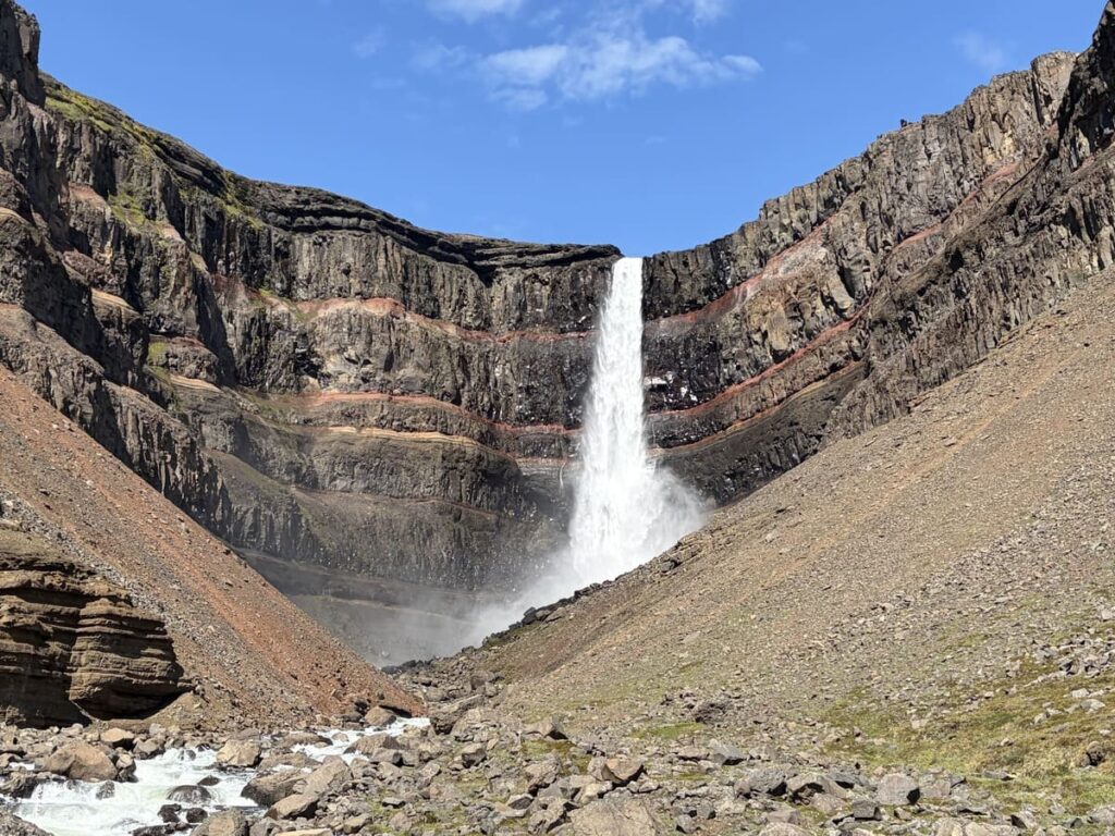
At 128 meters (420 feet) tall, it’s one of Iceland’s highest waterfalls, but its height isn’t the only thing that makes it special.
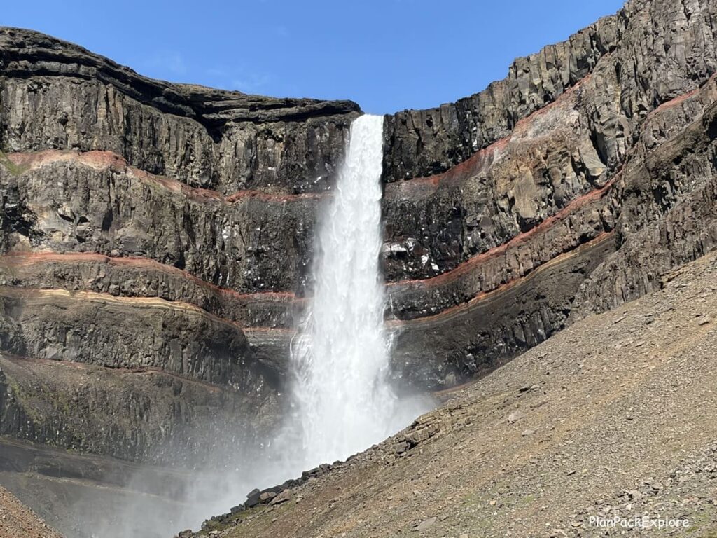
The red and dark horizontal layers in the surrounding cliff give Hengifoss a truly dramatic backdrop, making it one of the more unique waterfalls in Iceland.
The hike to Hengifoss is short enough to fit into a busy Iceland road trip, but it’s not completely effortless. The good news? You’re rewarded with impressive views throughout the hike, a bonus waterfall along the way, and when you reach Hengifoss, you’ll see why it was worth the effort.
In this guide, I’ll walk you through everything you need to know about hiking to Hengifoss, including how to get to the trail, how long the hike takes, what to expect along the way, and more.
Ready to go?
This post contains affiliate links to trusted products and services that I use and love myself. If you make a purchase through these links, I may receive compensation at NO EXTRA COST TO YOU. I appreciate your support! Also, as an Amazon Associate I earn from qualifying purchases. See the Disclaimer Policy and the Privacy Policy for more details.
Where is Hengifoss?
Hengifoss is located in East Iceland, about 35 km southwest of Egilsstaðir, along road 931.
How to get to Hengifoss?
The best way to get to Hengifoss is to drive yourself.
There is no public transportation and even though I saw parking spaces for big buses at the parking lot, I didn’t see a single tour there and wasn’t able to find any Hengifoss tours listed.
➡️ Need a rental car? Book from two of the top local Icelandic rental car companies – Blue Car Rental or Lava Car Rental – with an instant 5% discount. No promo code needed!


Getting to Hengifoss is very easy. Coming from the South Coast, counterclockwise on the Ring Road, once you get to Egilsstaðir, just follow rt. 95 to rt. 931 for about 30 minutes. You’ll drive along the Lagarfljót (also called Lögurinn), a large, long glacial lake which will be on your right side.
At the very end of the drive you’ll go over a bridge to reach the parking lot on the other side.
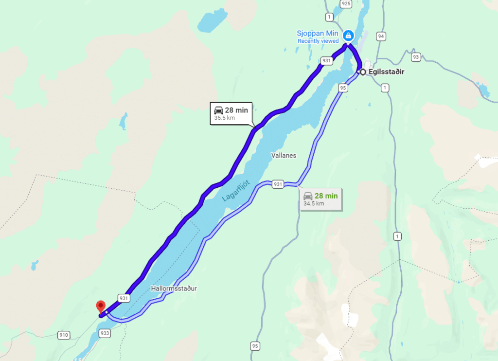
We came from the other direction, driving clockwise on the Ring Road from Akureyri, and ended up stopping for gas and coffee at a little gas station called Sjoppan Min in Fellabær (marked in blue on the map above), just before the bridge into Egilsstaðir.
Road 931, running along the other bank of the lake, was literally directly across the road, so we took that route – with the lake on our left side.
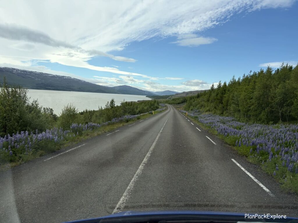
It’s a beautiful scenic drive, very easy and fully paved, so suitable for any car.
Watch the video of our drive here:
Parking at Hengifoss
There is a large parking lot at the Hengifoss trailhead with bathrooms, a café and a small gift shop.
You have to pay the parking fee – at the time of my visit (2026) it was 1000 ISK per car, payable via a QR code or checkit.com
Hiking to Hengifoss
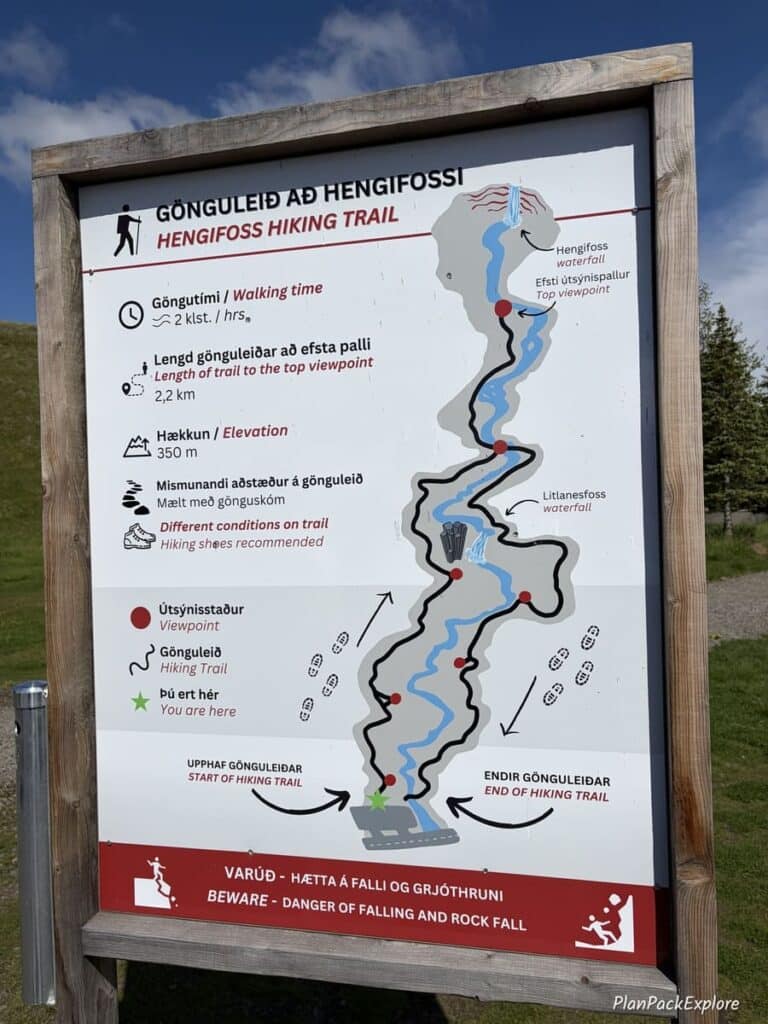
This hike is designed as a one-way loop, meant to be walked clockwise, with the “to” and “from” sections joining only for the final stretch near the waterfall.
There is a trail map at the start point, near the parking lot and a big sign “start here” by the stairs you have to climb to get to the trail.
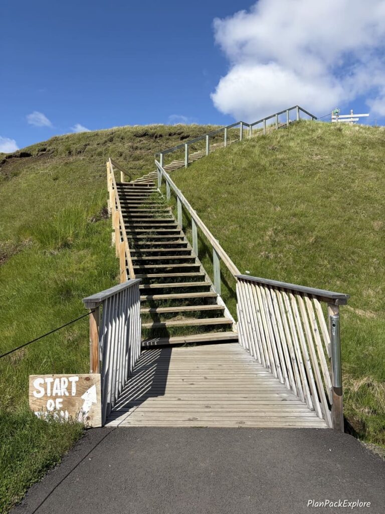
You’d be surprised how many hikers we saw going in the opposite direction despite these clear instructions!
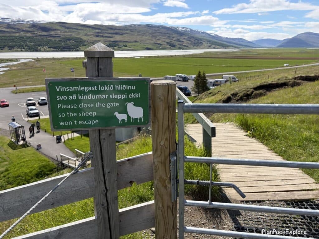
There is a gate at the top of the stairs – make sure to close it behind you to keep the sheep contained.
Then you’ll start going uphill on the path. It’s not a huge incline but definitely a steady climb.
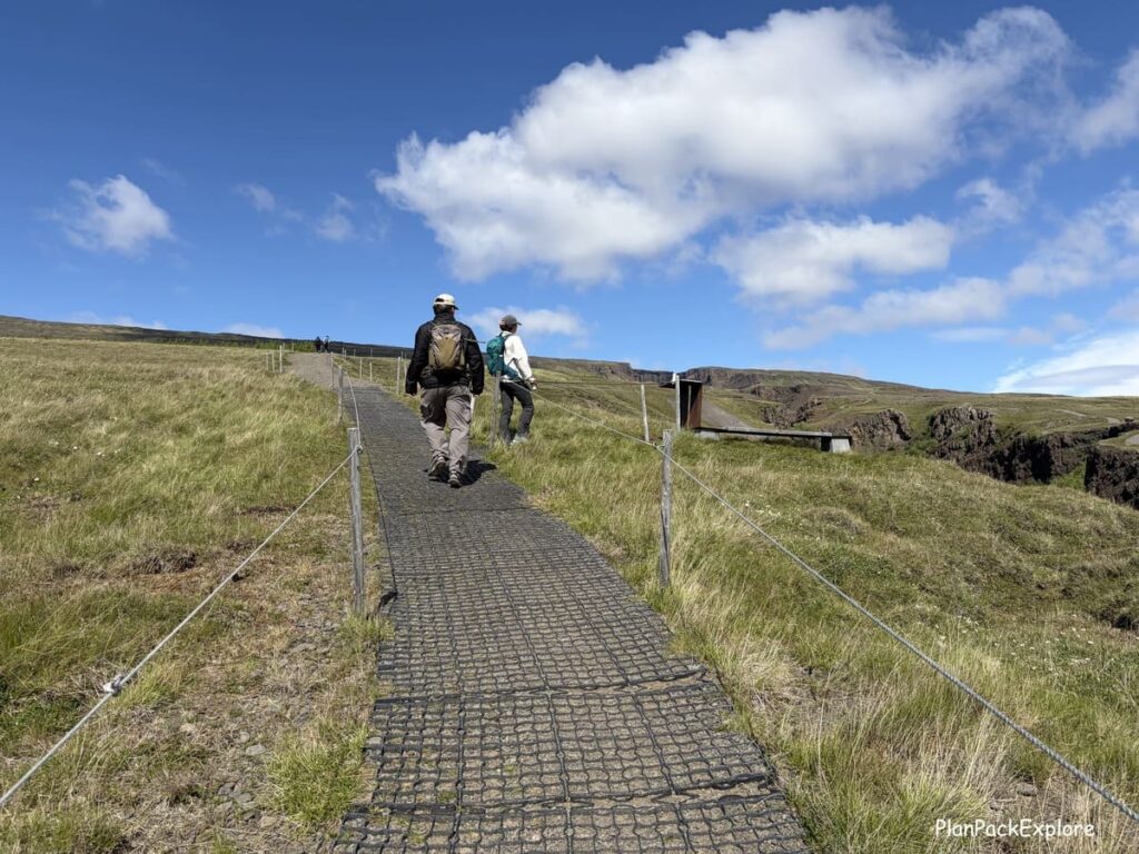
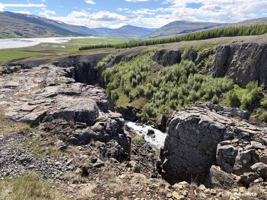
Make sure to stop and look down every now and then – the views are breathtaking!
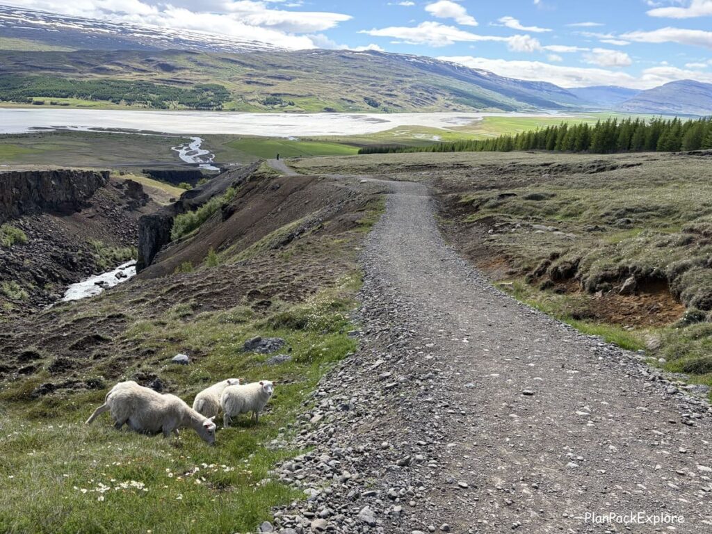
We also enjoyed the company of some friendly sheep 😊
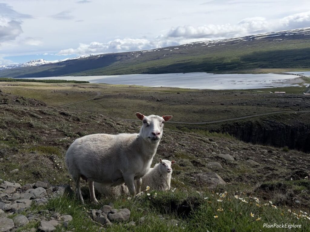
You’ll come across some viewpoints along the way, most with benches for you to rest on.
About halfway up, you’ll reach Litlanesfoss – a smaller yet powerful and beautiful waterfall, surrounded by basalt columns.
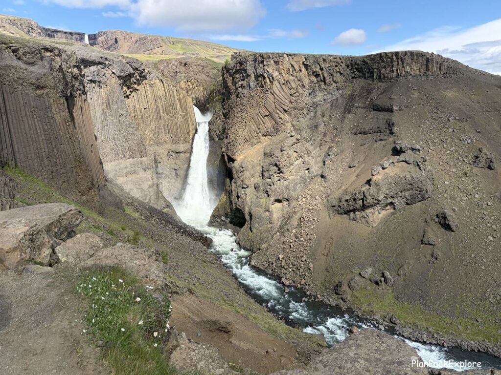
In the second half of the hike, you’ll start seeing Hengifoss peeking in the distance.
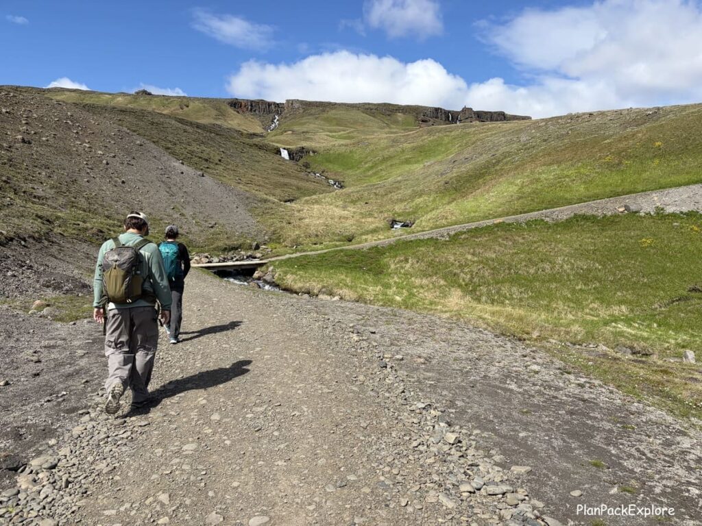
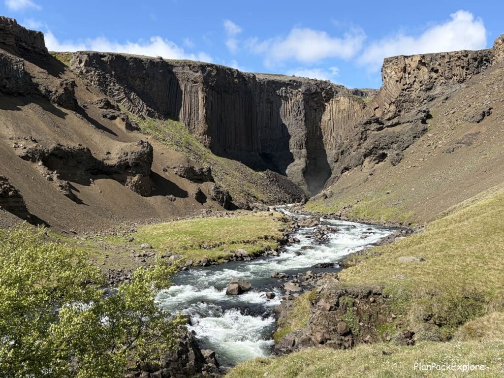
Right where both “arms” of the loop merge, you’ll have this wonderful photo spot, with Hengifoss still a bit away and the river flowing over the rocks in front of it.
Stop there and check it out!
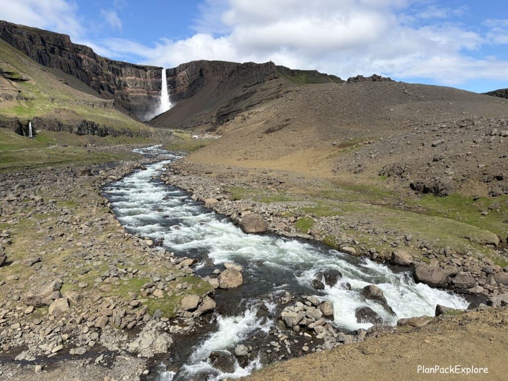
Then go on to conquer the last part of the trail – first a narrow dirt path, turning into a wooden boardwalk and finally a wooden viewpoint at the end.
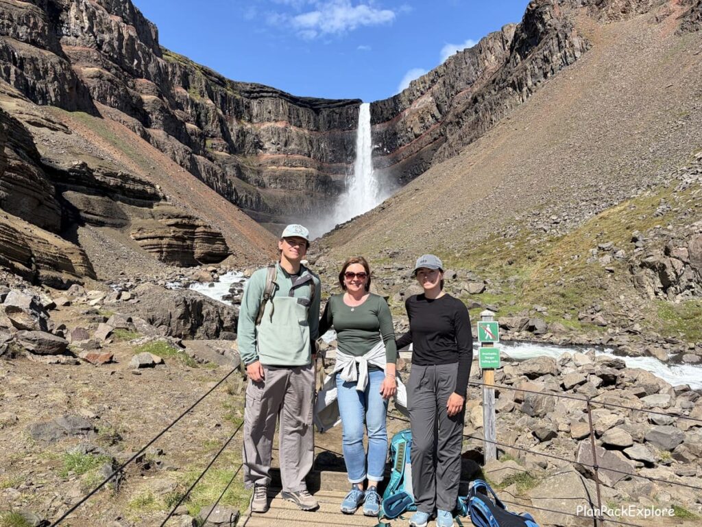
We spent some time here just admiring the power of this majestic waterfall and taking in its unique setting.
After a rest and a snack, we started heading back.
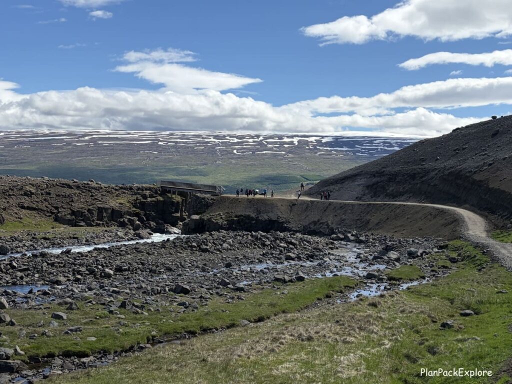
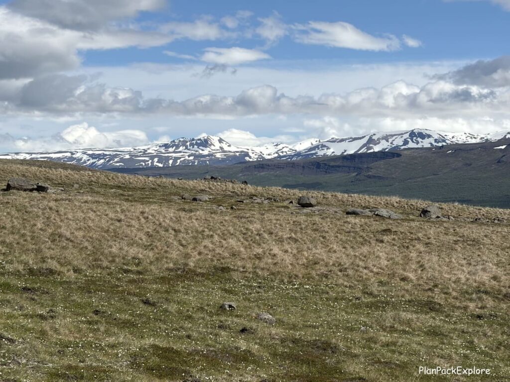
The views are equally nice on this side and you have the snowy peaks of the Eastfjords in front of you the whole time.
How long is the hike to Hengifoss?
The hike is about 2.2 km (just under 1.5 miles) long each way, and according to the info sign, the elevation gain is 350 meters (about 1150 feet).
It took us 50 minutes to go up and about 45 minutes to go down, and that included plenty of photo stops along the way.
Is the hike to Hengifoss waterfall worth it?
Yes! Very much so.
It’s a beautiful hike, not too tough, with a great reward at the end – definitely a must for your Eastfjords itinerary.
Where to stay near Hengifoss?
The best place to stay near Hengifoss is Egilsstaðir – it offers the most choices andamenities such as grocery stores and gas stations and it’s only 30 minutes away from the trail.
If you prefer a quieter area, you can stay in Seyðisfjörður – about 1 hour away or in Laugarfell, about 30 minutes past Hengifoss, where another trail starts – The Waterfall Circle.
Nearby attractions
- Seyðisfjörður
- Vök Baths
- The Waterfall Circle Trail
- The Reindeer Park in Fellabær
- Borgarfjörður Eystri
- Stuðlagil Canyon
- Rjúkandi Waterfall
👉 Don’t forget TRAVEL INSURANCE! I don’t travel without it. Get a quote from my personal #1 choice – Travel Guard – or check more options here!

🛜 Stay connected during your trip with an eSIM like Airalo, Saily or Sim Local!


Let me help you plan your trip!
Get organized with this printable, fillable 45-page ICELAND TRAVEL PLANNER – keep track of flights, hotels, tours, daily itineraries and even your trip budget!
BONUS! The planner has journal pages for your memories!
You may also like:
- 6-day Iceland Itinerary (How to See the Best of Iceland in a Short Time)
- Best Places to Visit on the South Coast of Iceland.
- Landmannalaugar Travel Guide – All You Need to Know + Best Things to Do.
- Golden Circle in One Day – Full Guide to the Main Stops and Best Detours.
- 30 Best Things to Do in Reykjavik, Iceland.
- Thjorsardalur Valley, Iceland: Best Things to Do + Travel Tips.
- Snæfellsnes Peninsula – A Complete Guide and Top Things to See.
- Waterfall Way – Your Ultimate Guide to the Skógafoss Hike.
- Diamond Circle in North Iceland – a Perfect Itinerary.
- Reykjadalur Valley – a Beautiful Hike to a hot river (+ Tips for the Best Experience)
For more Iceland inspiration and travel guides click HERE.
Need more help planning your trip? Join my Explore Iceland: Travel Tips & Advice FB Group community to ask questions, share your experiences, plus get expert travel tips and advice from a supportive community of Iceland enthusiasts! Join today!
🎙️ Prefer to listen to the travel guides instead? Check out my Explore Iceland Travel Podcast and easily plan your trip on the go!

About Monika
An avid traveler and a passionate trip planner, mildly obsessed with being organized and prepared 🙂
Well aware of how precious travel time is, I’m here to share my experience and help you get the most out of your vacation time.
“Taking the hassle out of trip planning”